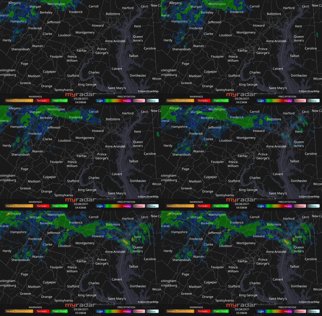
 Radar courtesy MyRadar | © OpenStreetMap contributors | Today's daily digit A somewhat subjective rating of the day's weather, on a scale of 0 to 10. 7/10: Rain and lower temperatures are pretty much what the doctor ordered. Express forecast - Today: Showers likely, possible thunder. Highs: 70 to 75.
- Tonight: Evening showers possible, then mostly cloudy. Lows: Near 60.
- Tomorrow: Partly sunny, warm. Highs: Near 80.
Forecast in detail We could use a break from the heat and really could use some rain. Today delivers with some cooler weather, but it's not clear whether showers in the forecast amount to much. By the middle of the week, the heat is back in force, but a cooler and potentially wet pattern sets up over Memorial Day weekend — good news for our gardens, but not so much for outdoor plans. Get our daily forecasts on your Amazon Alexa device. Today (Monday): Showers are possible any time today but may be rather spotty. The afternoon offers the best chance to get wet, when some heavier downpours or even a rumble of thunder cannot be ruled out. Clouds and winds from the east (around five to 10 mph) make it much cooler than yesterday, with highs only 70 to 75. Rainfall amounts are variable but should average between 0.1 and 0.25 inches. Confidence: Medium-High Tonight: A few showers may linger into the evening, but they should generally decrease after 9 or 10 p.m. Overnight, skies are mostly cloudy with lows near 60. Light winds from the east continue. Confidence: Medium-High Follow us on Facebook, Twitter, and Instagram for the latest weather updates. Keep reading for the forecast through the weekend. Tomorrow (Tuesday): Warmer, more summery air arrives as winds gradually become more out of the south (at five to 10 mph). Under partly sunny skies, highs are around 80. It's moderately humid with dew points 60 to 65. Confidence: Medium-High Tomorrow night: A bit of a muggy night (dew points near 65) under partly cloudy skies. Lows only fall to about 70 around the city with mid- to upper 60s elsewhere. Confidence: Medium-High  Mostly cloudy skies Sunday morning as a great blue heron returns to shore with fish caught in the Potomac near Memorial Bridge. (Jeannie in D.C./Flickr) | A look ahead Wednesday is the week's hottest day, with highs in the low to mid-90s. Upper 90s can't be ruled out if we see enough sunshine, but we'll probably have considerable cloud cover. It's also fairly humid (dew points mid-60s). A cool front will come through the region late Wednesday night offering the chance of a shower, with lows 65 to 70. Confidence: Medium-High Mostly sunny skies on Thursday and slightly less hot and humid (dew points return to the 50s) compared with Wednesday. Still, highs should manage the mid-80s to near 90. Partly cloudy Thursday night and comfortable, with lows in the upper 50s in our cooler spots to the mid-60s downtown. Confidence: Medium-High Clouds increase on Friday with showers developing in the afternoon and continuing at night. It's not as warm, with highs in the 70s. Lows Friday night dip to near 60. Confidence: Medium Saturday and Sunday could be rather unsettled as showers and storms pass along a front draped over the area. It won't rain nonstop, but planning weekend activities may prove tricky. Highs are probably in the 70s (with lows in the 60s), but could be lower or higher depending on where the front is situated. The outlook for Memorial Day is improved, with a reduced rain threat, but check back as that forecast comes into focus. Confidence: Low-Medium Read more about Capital Weather Gang's confidence rating. | 



No comments:
Post a Comment