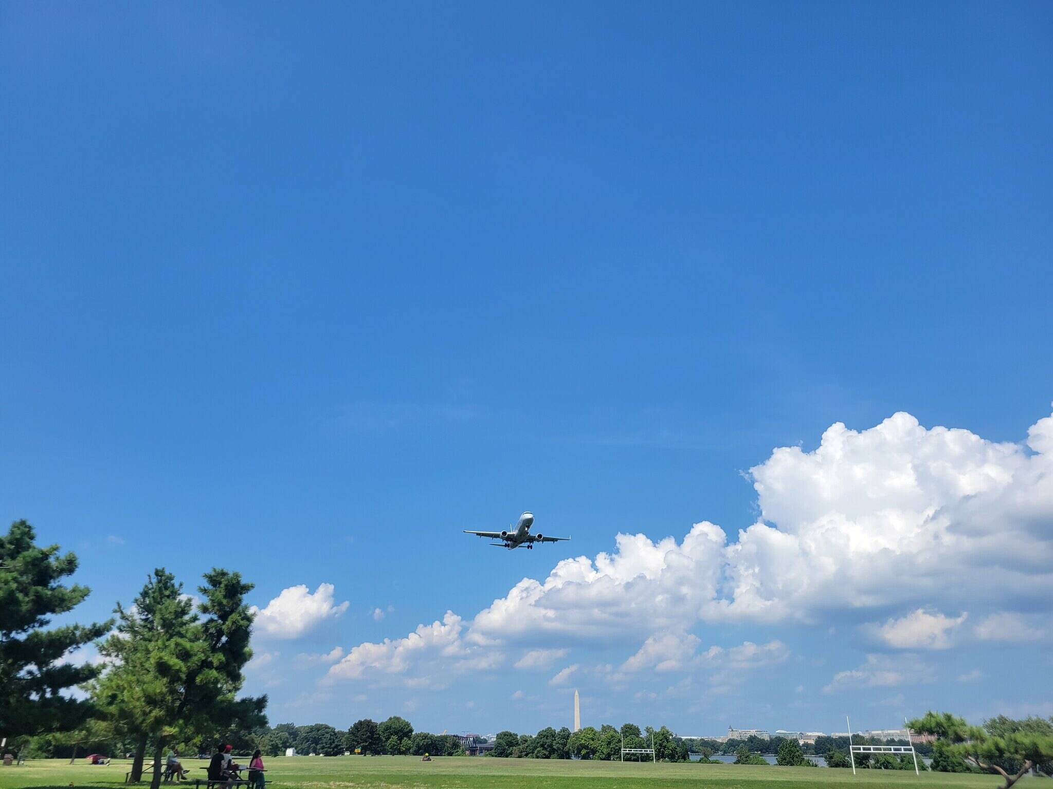
 Gravelly Point in Arlington on Monday. (Ron Cohn/Flickr) | Today's daily digit A somewhat subjective rating of the day's weather, on a scale of 0 to 10. 5/10: Heat is a pain, but we could use that rain. Express forecast - Today: Partly sunny, scattered storms late. Highs: 89-94.
- Tonight: Evening storms, overnight clearing. Lows: 65-70.
- Tomorrow: Mostly sunny, becoming less humid. Highs: 85-89.
Forecast in detail Today will probably mark the seventh in a row hitting 90 degrees or higher in Washington, nearly matching the summer's longest such stretch, eight days in late July. Fortunately, a cold front is set to sweep out the stagnant heat and humidity this evening with a line of scattered showers and thunderstorms. Nice weather arrives Wednesday through Friday as humidity drops off markedly. While turning a little muggier, our holiday weekend weather isn't bad, with perhaps a few storms by Monday.  | Storm Threat Level 1 - Everyday Storm Readiness
- Chance of storms
- Isolated storms may be severe
| Today (Tuesday): Mostly sunny skies in the morning shift toward partly sunny in the afternoon as highs surge to 89-94 degrees. The humid air (dew points near 70) boosts heat index values into the uncomfortable mid- to upper 90s. Scattered showers and storms should move across the area from west to east starting in the late afternoon to early evening. Some could contain heavy downpours and gusty winds. Otherwise, winds blow from the south at 5 to 10 mph. Confidence: Medium-High Tonight: Evening showers and thunderstorms should fade after sunset with rainfall averaging 0.25 to 0.5 inches, but locally heavier totals are possible with some storms. Skies start to clear overnight as temperatures dip to lows from the mid-60s to around 70 right in the city. Winds from the southwest at about 5 mph should start to slowly lower the humidity. Confidence: Medium-High Follow us on Facebook, Twitter and Instagram for the latest weather updates. Keep reading for the forecast through the weekend … Tomorrow (Wednesday): Mostly sunny skies return with afternoon highs in the mid- to upper 80s as humidity shifts much lower. (Afternoon dew points slip into the upper 50s to around 60.) Confidence: High Tomorrow night: Mostly clear and not as muggy either with lows ranging from near 60 in our cooler suburbs to the mid- to upper 60s in the city with light breezes. Confidence: High A look ahead Thursday and Friday feature fairly nice days to start off September. Mostly sunny skies lift highs into the mid- to upper 80s with low humidity. (Dew points in the 50s!) Thursday night looks mostly clear, with lows in the upper 50s to mid-60s. Friday night could see a few clouds, with lows mainly in the 60s. Confidence: Medium-High Saturday and Sunday deliver reasonably nice summer weather, with mostly sunny conditions and highs in the mid- to upper 80s but slightly higher humidity (dew points back into the 60s). A few spots could hit 90, especially on Sunday. Lows Saturday night should be in the 60s again under mostly clear skies, but some partly cloudy skies and slightly muggier lows (60s to low 70s) are probable by Sunday night. Confidence: Medium-High It remains moderately muggy on Labor Day Monday under partly sunny skies. The chance of afternoon to evening showers and storms returns as highs reach the mid- to upper 80s. Confidence: Medium | 


No comments:
Post a Comment