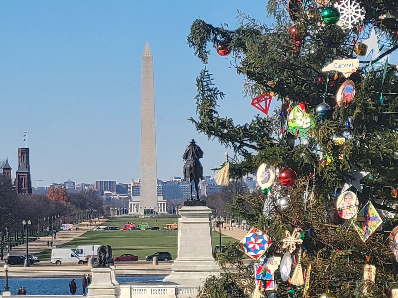
 A glimpse of the U.S. Capitol Christmas Tree on Thursday. (Ron Cohn/www.CWG.news/Photos Flickr) | Today's daily digit A somewhat subjective rating of the day's weather, on a scale of 0 to 10. 8/10. Milder, sunny, light breeze. A few warmer spots may even near the mid-50s? A decent late-autumn Friday! Express forecast - Today: Mainly sunny, light breeze. Highs: Near 50 to low 50s.
- Tonight: Cloudier, then late-night showers. Lows: Low to mid-40s.
- Tomorrow: Windy. Rain/showers, especially a.m. Highs: 57 to 63.
- Sunday: Partly to mostly sunny. Highs: Mid-40s.
Forecast in detail We've got sunny mildness today, then borderline warm tomorrow when we add rain and wind on top of that. Winds decrease Sunday into Monday, but so do temperatures. In case it's not clear what day of the next few is best for outdoor activities: Think today! I know, a workday … Get our daily forecasts on your Amazon Alexa device. Today (Friday): We're sunny with light southerly breezes near 10 mph in the midday and afternoon hours. Our high temperatures are just a bit warmer than yesterday, or mainly in the near 50 to low 50s zone, perhaps slightly warmer in a few spots. Sunset may be beautiful yet again, with a few clouds moving in, just in time to add some texture. Confidence: High Tonight: Clouds increase during the evening. Around midnight we start having a slight shower threat, a risk that gradually grows as we head toward dawn. Make sure to have a small umbrella if you're out in the wee hours. A few showers could have moderate periods of rain within them. Southerly breezes may gust around 20 mph as we get near sunrise, as well. Low to mid-40s are possible before midnight, but temperatures probably rise a bit going into dawn. Confidence: Medium-High Follow us on YouTube, Facebook, Twitter and Instagram for the latest updates. Keep reading for the forecast into next week … Tomorrow (Saturday): Waves of morning rain should taper back into lighter showers by midday, with clearing into the afternoon. We should even see some real sun during the mid- to late afternoon, before we potentially see one last batch of showers nearer sunset. For all this activity, we may only see a quarter inch of rain at best. Midday and afternoon winds peak along with temperatures. As southerly winds gust near 30 mph a few times, we see high temperatures in the upper 50s to low 60s. Confidence: Medium-High Tomorrow night: As the evening cold front moves through with perhaps one last round of showers, cold air begins to filter in. Skies should clear well before midnight. Northwesterly winds may still gust near 20 mph, making low temperatures in the upper 20s to low 30s feel even chillier. Confidence: Medium Sunday: Calmer winds and mostly sunny skies in the earlier morning and even late afternoon hours are nice, but we could have some cloudy periods in between. We'll monitor just how many clouds may pop up as we get closer. So far it looks rain-free but cooler, with high temperatures stuck in the mid-40s. Confidence: Medium A look ahead Sunday night: Skies are partly cloudy at times, and breezes may turn nearly calm. Low temperatures probably bottom out in the upper 20s to low 30s. Confidence: Medium Temperatures rebound slightly on Monday, with high temperatures currently aiming for the upper 40s to low 50s. Sunshine may have a few clouds to contend with at times, but overall we can deem it a mostly sunny day. Confidence: Medium Rain may move in before dawn on Tuesday, but stay tuned for timing and amounts as we get closer. Skies are looking mostly cloudy, even if the rain details shift a bit. Light to moderate southerly breezes may help boost high temperatures into the 50s. A few peeks of sun could help typically warmer spots see some upper 50s. Confidence: Low-Medium | 


No comments:
Post a Comment